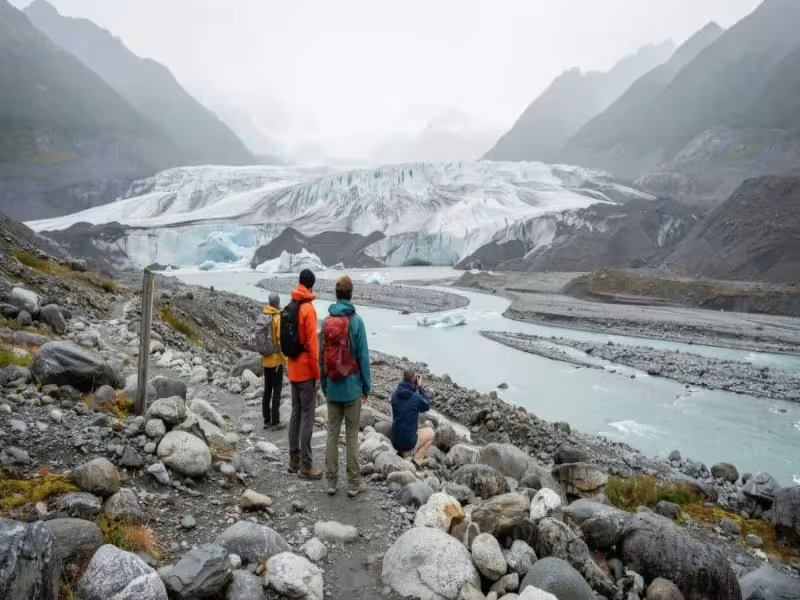
ALASKA -- November 19, 2026 -- The walk to Root Glacier in Wrangell–St Elias National Park and Preserve now runs about 2.5 miles each way, or roughly 5 miles round trip by our calculation, over steep, rocky and muddy ground.
Park staff and local volunteers opened the rerouted trail in August 2026. In July 2026, park geologists had found unstable ground on a moraine near the old access trail, and officials closed that approach. It stays closed. Visitors are told to keep to the signed route, and the park recommends traction devices for anyone stepping onto the ice. A guidebook or old online post may still describe the closed route.
A study published in October 2026 found that about one-quarter of the glaciers in the contiguous United States have disappeared since the middle of the 20th century. Alaska lies outside the study area, so access and hazards there depend on local records.
Juneau's river floods closed riverside trails for two days in August 2026.
Water released from Suicide Basin, a side basin of Mendenhall Glacier, flowed into Mendenhall Lake and River twice in 2026, according to the National Weather Service. The August release crested the river at 14.7 feet. The October release reached 10.18 feet, just above the moderate flood stage. That is 4.52 feet, or about 31%, lower than August.
After the August event, city officials closed several riverside facilities and trails for two days. In October, the weather service said colder conditions should limit further water entering the basin and that another significant release was not expected in 2026.
Kenai Fjords National Park posts ice and flood warnings at three glacier sites.
At Aialik Glacier, a September 2026 park warning says visitors must stay out of a hazard zone near the glacier's end. Unstable ice there could fall in large blocks or columns and create local waves along nearby beaches. The notice covers the terminus area, not the whole park.
Below Exit Glacier, a separate safety closure covers the canyon, where sudden outburst floods can send water, ice and rocks through at any time, according to the National Park Service. The road to the site also closes to cars in winter and much of spring. That is a seasonal limit, not the flood restriction.
At Bear Glacier Lagoon, the National Park Service recommends keeping at least half a mile from the glacier face and camping or landing at least two miles away. That is four times the half-mile minimum. Icebergs can roll or break without much warning. The agency describes these as recommendations, not a guarantee of safety, and advises guided trips for people who need support.
Tracy Arm's 2025 landslide sent water 481 metres up a slope but only 36 centimetres in Juneau.
A US Geological Survey assessment updated in November 2026 says water from the August 2025 landslide in Tracy Arm reached about 481 metres up the slope across the fjord. A gauge in Juneau recorded a wave about 36 centimetres above the tide. USGS reported no deaths or injuries and warned that the exposed slope could keep shedding rocks or smaller landslides.
At Barry Arm in Prince William Sound, the state geological survey's November 2026 update placed the landslide hazard at Level 1. It found no signs of large-scale active movement. Officials said a rapid, large failure was unlikely without an outside force such as a strong earthquake, and advised mariners to watch for unusual rockfall, waves, currents or tides.