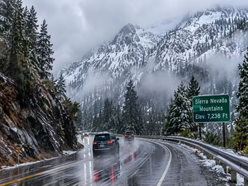
CALIFORNIA -- November 21, 2026 -- California storms were forecast to arrive every one to three days in the third week of November, leaving roads and airports at most three days to recover between systems. AccuWeather senior meteorologist Alex Sosnowski says the active northern Pacific storm track is set to divide, sending a second stream of heavy rain toward California and Nevada.
The first storm was due in Northern California on 15 November and in Los Angeles a day later
AccuWeather's timeline for the next significant system:
- Sunday, 15 November: Northern California
- Monday, 16 November: Los Angeles
- Monday to Tuesday, 16 to 17 November: Las Vegas and Phoenix
By that schedule, one system covers the run from Northern California to Phoenix in about two days. The Sierra Nevada is also in the affected area, so mountain highways could see snow rather than rain.
Meanwhile, British Columbia and the Pacific Northwest keep getting storms from the northern branch. California is not taking over from them. It is getting a second line on top.
Standing water and reduced visibility can lengthen journey times, particularly on busy motorways and poorly drained roads. The report adds that actual disruption depends on local rainfall intensity, road conditions and the timing of each system.
Pacific swells could reach 40 feet offshore and 15 to 30 feet near the coast
AccuWeather says offshore swells could reach approximately 40 feet during some storms. Near-shore waves may occasionally hit 15 to 30 feet, which puts the near-shore peak at roughly three-quarters of the offshore figure at the upper end and about 40% at the lower end, by our calculation.
Those heights apply to individual storm events, not the whole coastline at all times. The source says exposed beaches, coastal viewpoints, harbour entrances and rocky shorelines are the riskiest spots, and that visitors should follow official marine warnings and stay out of restricted areas. Recreational boating and marine excursions can also be affected.
Repeated rain and snow could ease drought, but the benefit depends on snowfall totals
The source says sustained precipitation could help refill reservoirs and lakes, and mountain snowpack matters because it melts into water supplies in warmer months. Extra snow could also help winter-sports destinations build the base they need. The report says the benefit depends on accumulation, temperature patterns and timing.
For anyone travelling, the report advises flexible bookings and extra journey time. It specifically cautions visitors unfamiliar with mountain driving about winter routes. It does not say how much rain or snow is expected.
AccuWeather's outlook ran through the third week of November.